Kevin - Monday. With our decision to attend our grandson’s H.S. graduation in Utah, we have to get a little creative with our travel plans. We have to move the trailer forward to a secure location because we will be gone a week. AND, Denny’s sister will be getting sealed in early June, so we need a site that I (Kevin) can work from without my co-pilot. We find a RV park in Glendo that will work with us on our situation. Thanks to Tammy Engling and the Engling RV Park. We make arrangements to drop the trailer tomorrow on the way out of town.
Since the Guernsey Wyoming area has a number of historically important sites, we decide to drive through today in order to see most of them. For this, I heartily endorse the book, The Mormon Trail Revisited by Gregory Franzwa, Patrice Press (2007).
While the Brigham Young group of 1847 followed a single route, Franzwa details the work done by Randy Brown and others to tease out which route from among the MANY branches in this area. There’s the ‘Canal Route’, the ‘Bluff Route’, the ‘River Route’, etc, all of which are modern names to help researchers identify which route they are referring to. It can get confusing.
First up is a series of wagon swales along the Canal Route (BY’s route) that can be driven even towing a medium-sized RV – well, except for that sharp, acute turn to cross a narrow cattle guard near the dam. That required us to cross the dam to turn around for a straight shot at the cattle guard, but that’s no big deal. And, at the dam one can see just how much water is diverted out of the North Platte River for irrigation. Nearly all the water is channeled into two canals, one on each side of the actual river course. Franzwa’s instructions and commentary along the route is spot on through here.
Next, Denny and I go hiking to Mexican Hill. For this, we had to park the vehicles on County Road 92, then hike about a mile down to Mexican Hill, then back up again. The steep wagon road is to the side of the deep cul-de-sac and the wagons went downhill – if they were going west.
.jpeg)
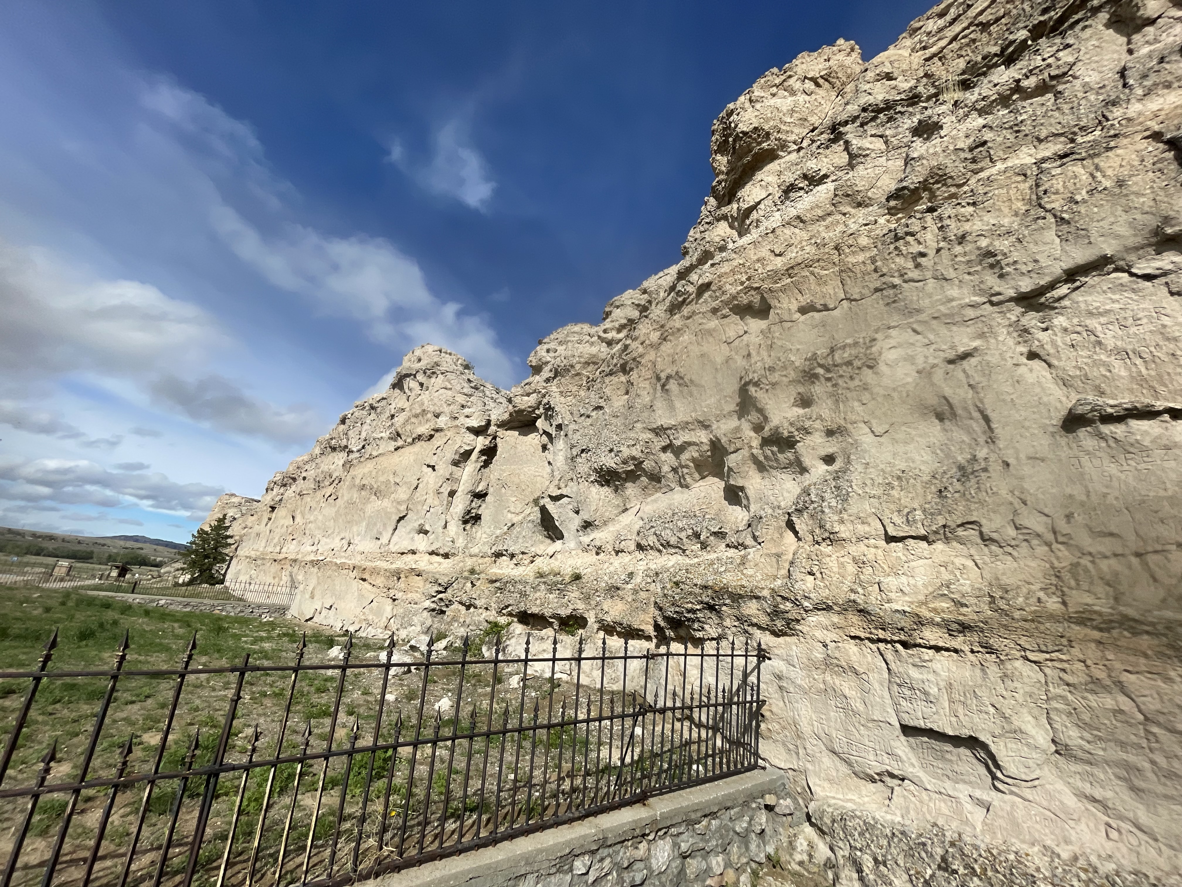
Register Cliff: Thousands of names were etched into a series of chalky bluffs. The main old wagon route through here is channeled between the river and the bluffs which are separated by only 50 yards or so at the narrowest point.
Warm Spring Canyon: This little oddity is on land dedicated to the Wyoming National Guard training center and admission is by permission only. There’s a locked gate and a phone number to call if you want to go see the springs area. Sadly, the Operations Officer of the Day refused permission due to on-going training in the area that day. Hummm … we didn’t see anyone in the area.