Kevin – Tuesday. At 9 AM, I’m on the doorstep of Bill and Jean Hammond. Their home is on a perfect knoll with a view of Laramie Peak to the west and all the foothills surrounding. Beautiful.
A neighbor had directed me to them and a phone call yesterday set up this meet and greet. The Hammonds are an older couple (well, a few years older than moi), and retired here from New York some years ago. They bought the property, built on it, and are surrounded by a lovely valley.
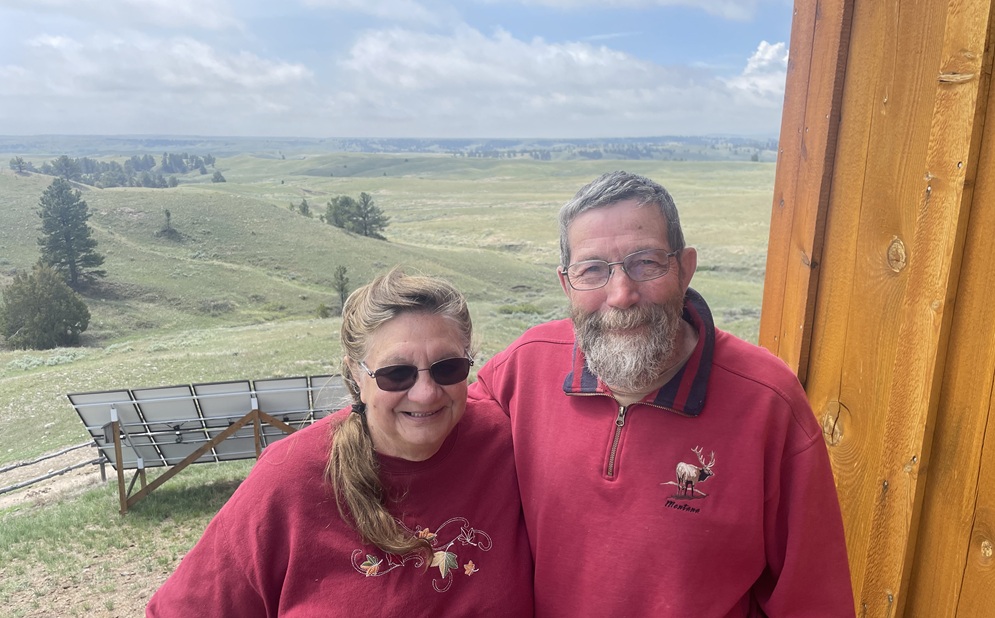
We trade stories for a couple hours; how we got here, what we’ve done in life and what things are important to us. But through it all, business was at hand. The Hammonds know some of the property owners in the lower section of Wyoming’s Black Hills. Those owners are the folks I need to get permission from to poke around looking for Randy Brown’s trail markers and for finding evidence where I think the trail should be.
Not to say I disagree with Randy Brown. I don’t. Wouldn’t think of it. He’s the recognized expert in this section of the Historic Trails. Years ago he and a team of folks put up markers where their research indicated the Oregon-California trails passed. I’m looking for things our group mentions in their journals. Overturned rocks thrown out of the way of the wagons. Wagon swales. Views and locations the journalists commented upon. They should be on Randy’s line of travel but, there are a LOT of trails and trail variants in the area. It’s the Black Hills section that Brigham Young took in 1847 – and presumably the Battalion detachments followed suit. Their journal entries suggest it and I want to see what they saw. Connect the dots.
.jpeg)
Greg Franzwa’s book, The Mormon Trail Revisited (Patrice Press, 2007) is the best publicly available text about the route, but even with Randy Brown’s help, Franzwa didn’t provide much detail about this section. Randy has encouraged me to contact the property owners to get permission to hike around looking for his markers. That’s a lot of background leg work – tax records, hunting software, knocking on doors, etc., all come into play trying to get permission. Oh, for the ‘good old days’ when you didn’t have to contend with fences and lawyers.
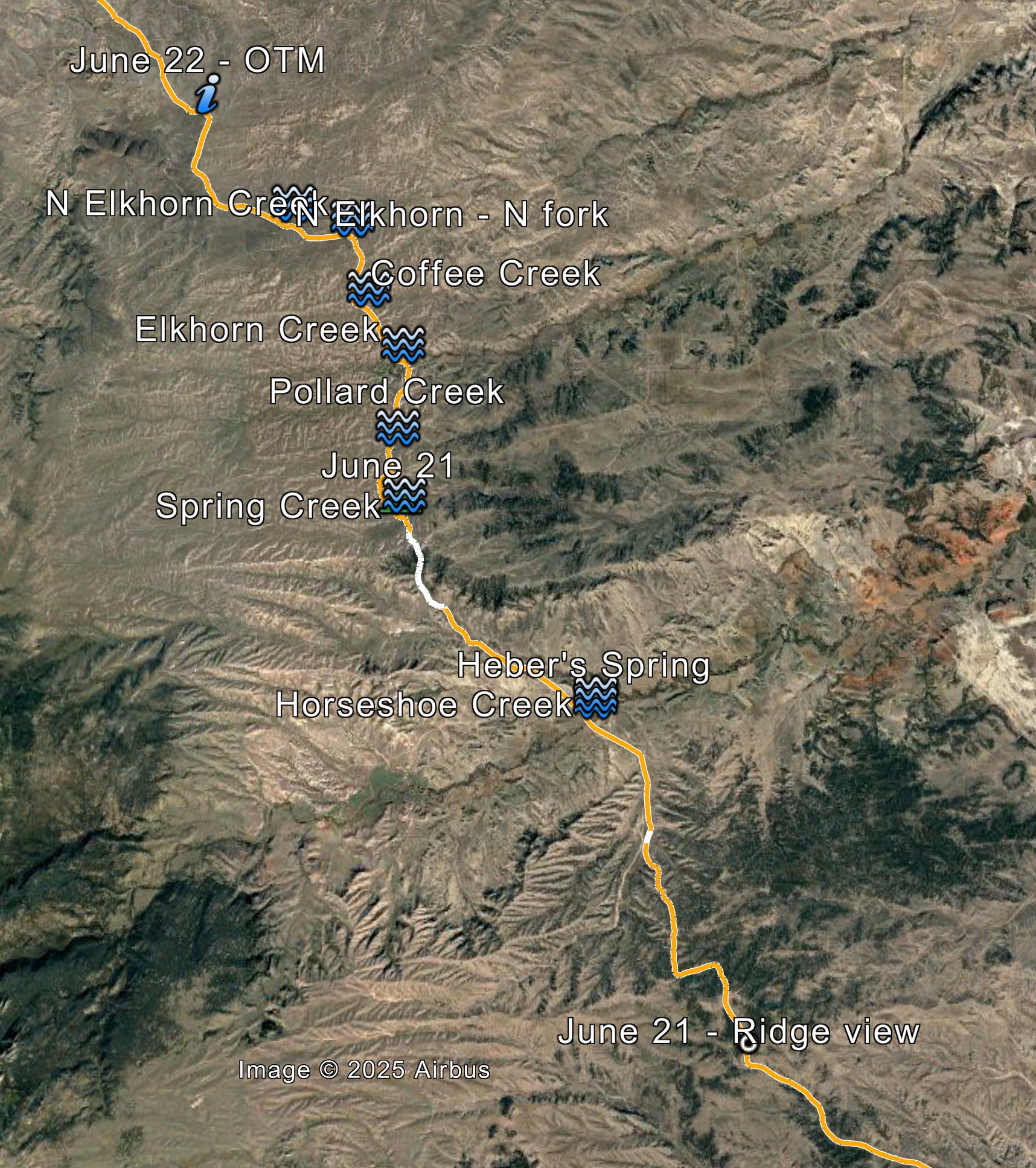
So, here’s what we’re looking to examine as much as possible. It’s only 20 miles, but it may be the hardest 20 miles to get access to.