Kevin - Thursday. The new mapping software is not recognizing my login and it’s needed help to put research items together into a visual arrangement. The company’s customer support is not easy to access. The automated chat-bot does not address my login problem. No human phone response. Stable internet access is needed and that’s not happening at the RV.
The town hall is occupied today with a quilting group, so using the building isn’t an option either. Working inside the truck for an hour is kind of cramped, but at least the internet is accessible. Some e-mails go out on various inquiries. A half-dozen phone calls are made to people who’ve been referred as local resources. Sadly, none can help with the sections of interest. They all live on different trail sections.
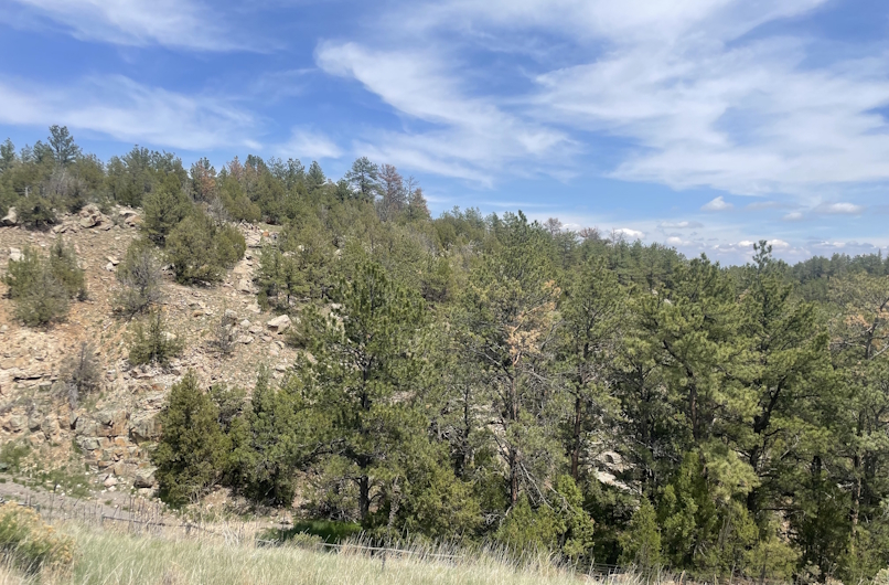
Locally, if you refer to this area as the ‘Black Hills’, people are puzzled. The name didn’t stick but was in use back in the 1840’s. William Clayton explained that it was the ‘vast forests of pine trees’ covering the Black Hills that made them look so dark. It’s clear he didn’t make up the name, so who did? Most of the trees are gone now and you’re left to imagine just how dark and covered they really were.
There are only three public access roads that penetrate into the Black Hills and they are separated by a few miles each. My intent was to hike from one to the other each day this week but if you can’t contact the owners, one is faced with that conundrum; trespass without permission or be a good boy.
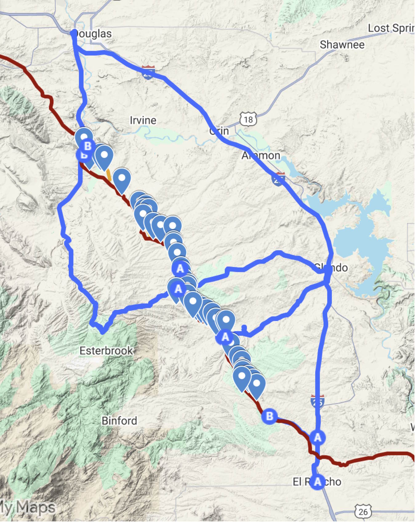
So, it was time drive and explore the Horseshoe Creek crossing area. Nice valley. Laramie Peak is about 20 miles to the west. No snow to speak of remains on the upper reaches. That’s in contrast to June 7, 1847, when Norton Jacob wrote, “We arrived at the summit of a ridge of the Black Hills & opposite Laramie’s Peak crowned with his winter dress. We have been in sight of it since a week ago last Saturday.”
Recall that this was the late spring of 1847, the spring after the winter that trapped the Donner Party in the Sierra Nevada. One is left to wonder if the severe snows made it this far east and contributed to a late snow covering for Laramie Peak.
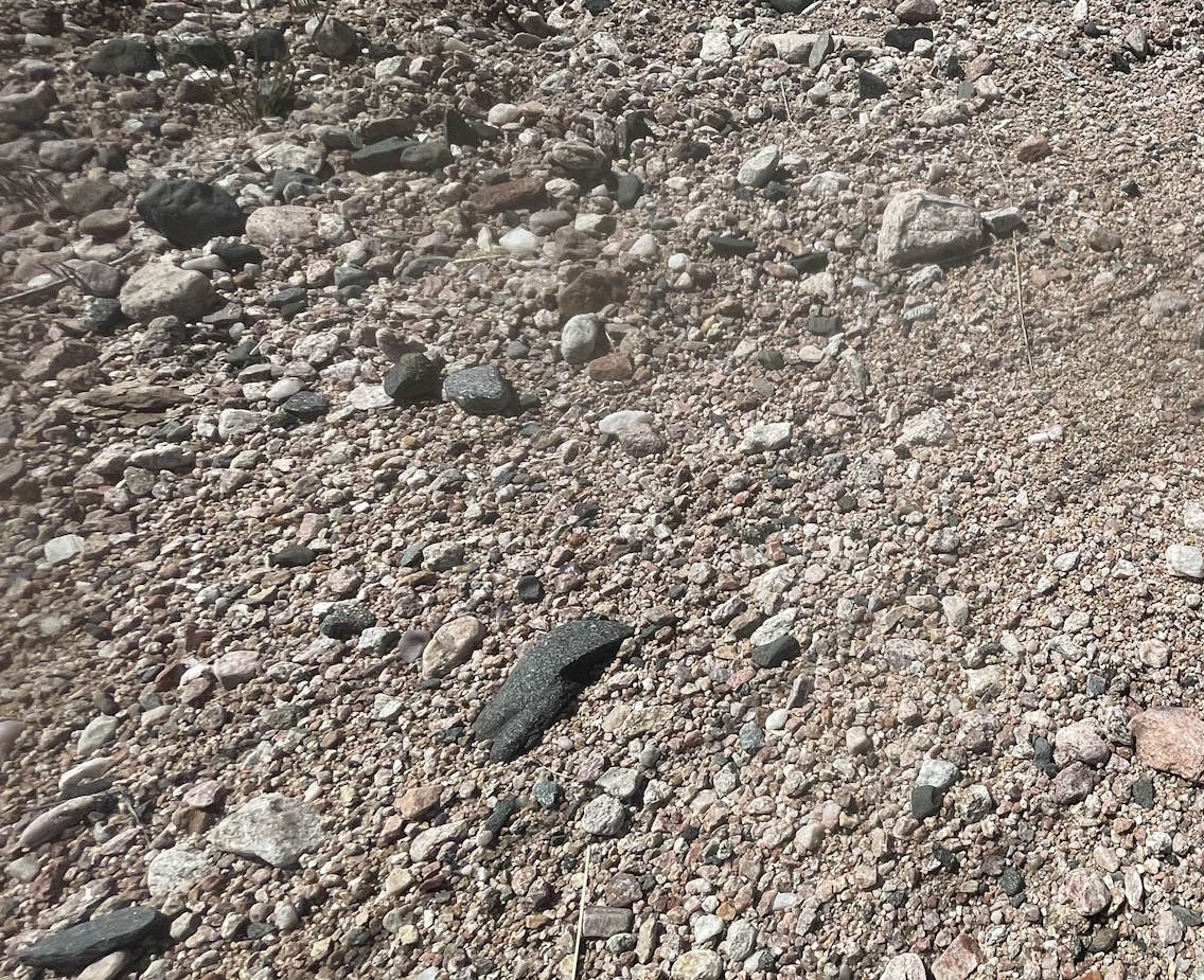
A couple of Randy Brown’s trail markers were located. One seems to be missing but there are obvious wagon swales once you know where to look. The pioneers and the following groups came down Sand Wash to Horseshoe Creek. The variety of rocks making up the floor of the wash is staggering. They were eroded off the infant Rocky Mountains back some 65 million years ago and deposited in stream beds, then buried. Now they’re being eroded out again and flash floods bring them all down the wash. It’s a wide variety of igneous, metamorphic and sedimentary rocks.
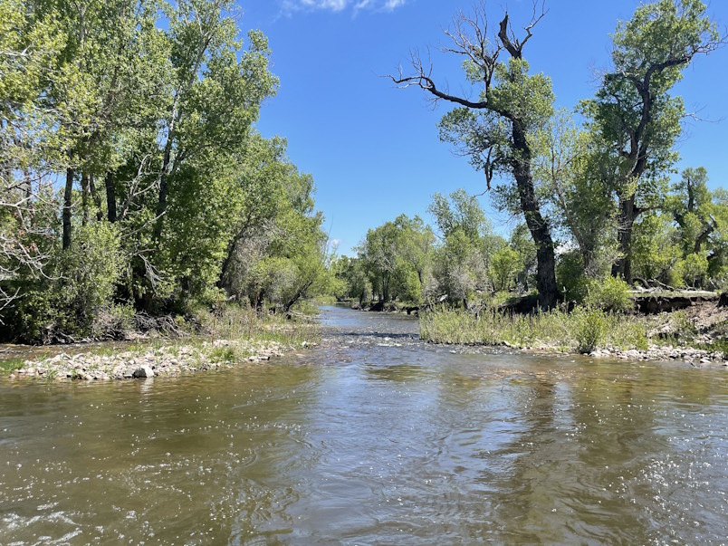
Surprisingly, Horseshoe Creek has a pretty good flow up here near the trail – more than expected. Jacob wrote that it would make for a good mill stream. That’s still true. It’s still about ‘2 rods wide’ – about 30 feet with an ample supply of water flowing swiftly and a depth of about a foot or two.
After checking further up canyon, there’s apparently no further trail items to report on. So, it’s back to the Tiltin’ Hilton for dinner, blogging and preparation for Casper.