Our first stop at 8 AM is a ranch on LaBonte Creek. On the satellite imagery a large set of wagon swales running side-by-side can be seen. Never seen any pictures of the from ground level. Never read anything about them. They call to me. They itch to be documented.
Cheri meets us at the gate and after introductions bids us follow her down the ranch road for about two miles. There are a couple of OCTA trail markers along the way but not too much in the way of evident swales yet. It’s interesting to note that by happenstance, we are at this location 177 years after the Brigham Young 1847 group – to the day.
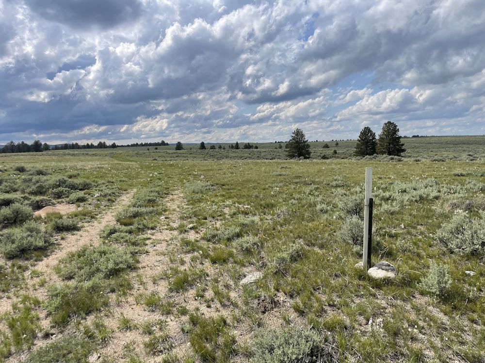
We follow Cheri out into the south section of their property and start heading uphill. About a mile in and after cresting a steep hill, Cheri stops and pops out of her truck. We pile out and there they are – multiple swales, long and parallel with some diagonal cross-overs from one swale to another. I’m calling them the Super Swales.
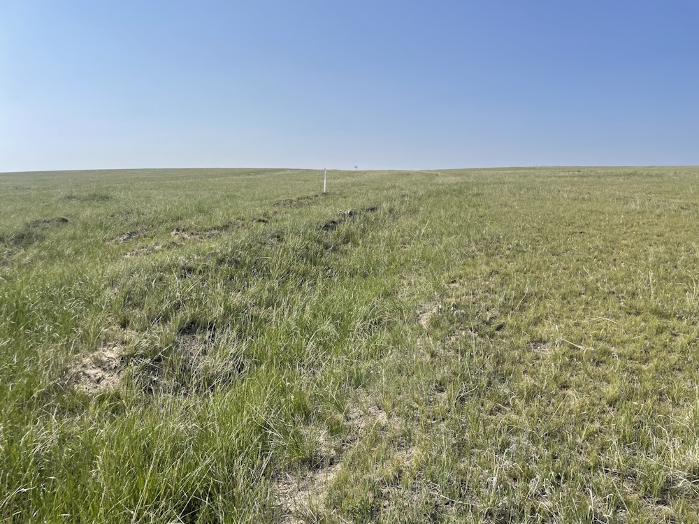
Cheri cuts us loose to explore some on our own while she gets back to ranching. We follow the swales back along the ridge (yes, they’re following the ridgeline through here) to the fence line of the next property owner. I’ve not been able to contact them, so we’re at the end of this section to view.
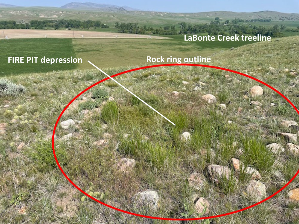
However, Cheri had mentioned that on the top of one hill there were tipi rock rings. We asked if we could go view them and permission was happily extended. So – off we went for an unanticipated bonus activity.
On top of a 100-foot hill, overlooking the valley (but further from the water than I would have chosen) were at least 25 rock rings. The rocks were placed around the tipi bottoms to secure the tipi against the wind, rain and snow. Interestingly, at least 3 were not circular, but appeared to be oval or rectangular in shape. One had fire pit depressions at both ends of the rock rectangle. I’ve not seen anything like that before. Perhaps it’s an artifact of two or more circular rings overlapping in some areas – but they sure looked rectangular.
Back at LaBonte Creek, I examine a couple of stream-bank ‘cut-downs’ where the banks of the creek were dug out into a ramp allowing the wagons to have a more gentle hill into the water. Looking into the creek bed, the rocks from the cut-down are slowly being carried downstream by the water flow. On the opposite side, the other side of the cut-down and rocks are visible. It’s perhaps the best example of a cut-down I’ve seen in the past 20 years. We will put the video up online.
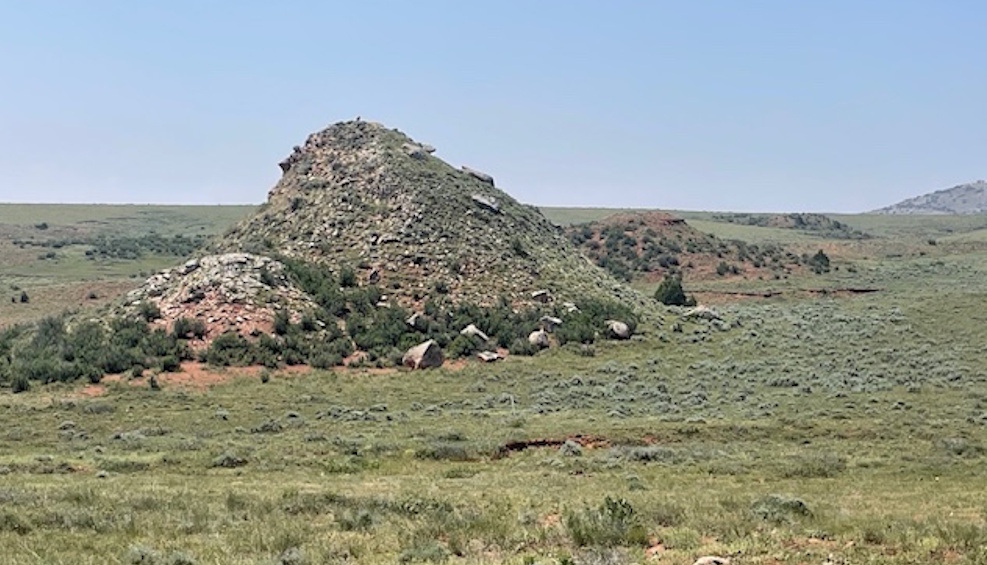
Our next stop was Knob Hill, an erosional remnant in the Red Rock County. Greg Franzwa gives a fitting description of how bad the fine, red dust is through this 4-mile section of trail. Greg was pretty graphic about how the red dust infiltrated everything.
Now for the best part of the day (in my opinion). With permission of the property owners, I take Denny and the Woodbury’s back to the ‘steep hill’ of last week’s travels. It’s just so darn impressive the higher one goes. The bottom is unimpressive scraggly sagebrush, but ascending the hill, the Ponderosa pines make their appearance as do junipers and a variety of wildflowers. But most impressive are the swales. It seems apparent that some sections have been enlarged into ranch roads over the decades, but there are still beautiful swales that can only be original. Rocks thrown to both sides to make an unimpeded path for the wagons and draft animals.
It’s a steep ¾ mile route to the top. Side turn-outs along the way for slow or broken wagons. Possible campsites for groups that couldn’t make it all the way up. Excellent views to the south as one nears the ridge.

PHOTO 4: Wagon road up the steep hill
And, then suddenly, unexpectedly, you pop over the ridge and to the west is a gently rolling prairie for miles and miles. Breathtaking. And even more fun, it comports exactly to the descriptions in the journals and trail guides.
I was able to capture Mark & Becky's feelings about their experience today - available on our Battalion Trek Podcast.
PODCAST: A Day on the Trail – Our Visitors’ Perspective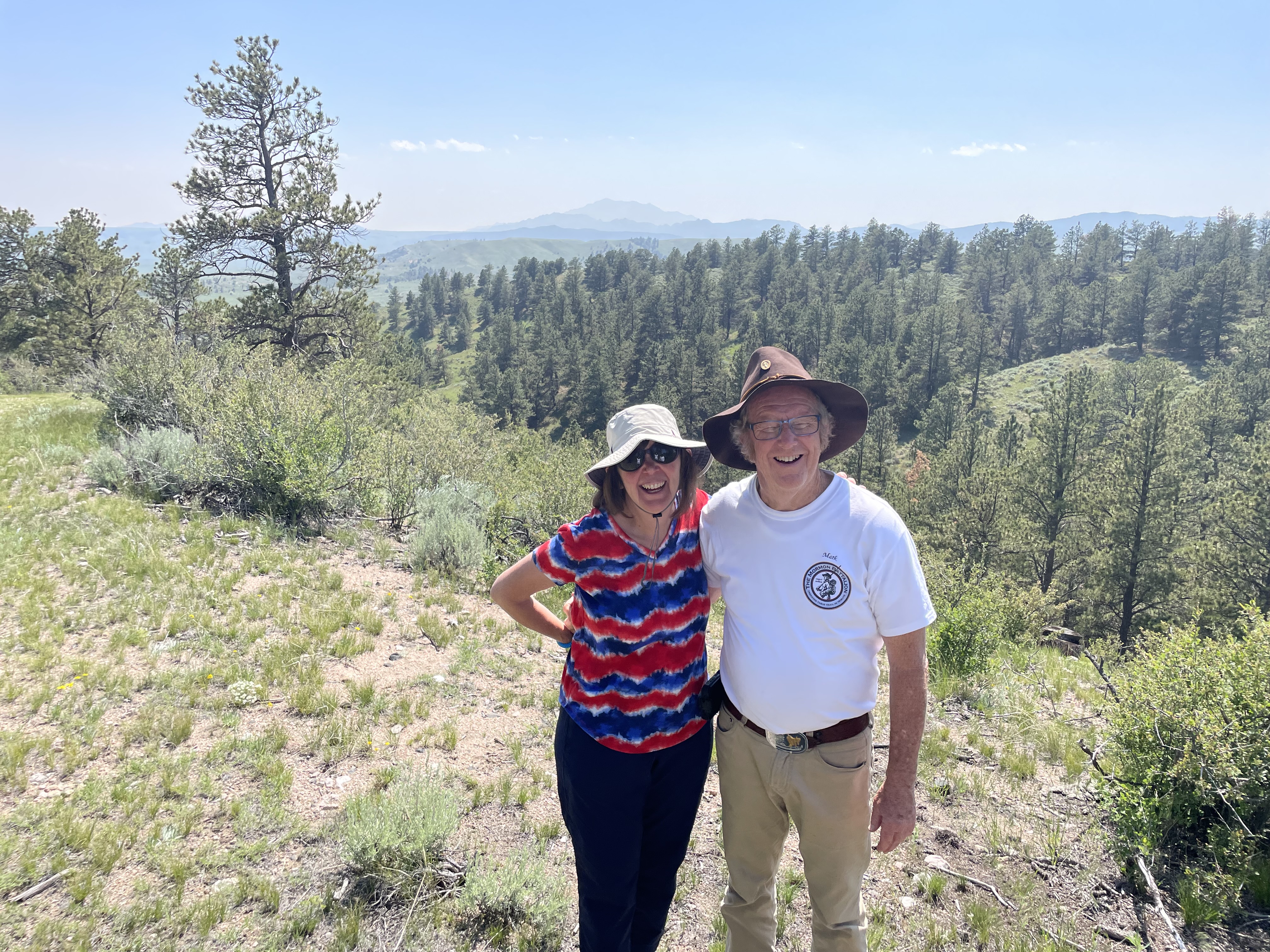
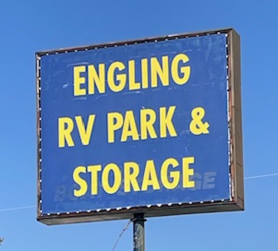
We take a few minutes to to look around, then reverse course and backtrack to Horseshoe Creek, then out to the town of Glendo. The other vehicle and bikes were stored there while Denny was at the wedding. We thank the owners of Engling RV Park and Storage for their support and patience with our little project. Tammy was most kind to us. And that was our busy, happy day. We made several videos at these beautiful locations today - we'll upload them to our YT channel as soon as we can.