Kevin – Monday. Today and tomorrow are set aside as time for ‘poking around’ as I like to call it. From the maps and information available to us from afar, we can’t really tell much about the route we WANT to follow. Where we can get permission to go on private property or how good the roads, 2-tracks, and paths? Also, we have to decide how critical it is to go into some areas. Is it an area that isn’t well known and we might get surprised and find something new? Or, is the section very well-known and documented? While we’re interested in ALL the trail, we recognize that with limited time, resources and permissions, we just can’t hike or bike every last mile.
After scouring the online map app we use, a ‘survey course’ was laid out for Mark and I to drive to see what we’re possibly getting into. Denny and Becky decided to stay behind to get some other things done. Mark is driving whilst I navigate using the map app. Our start time was 10 AM with return expected around 1 PM.
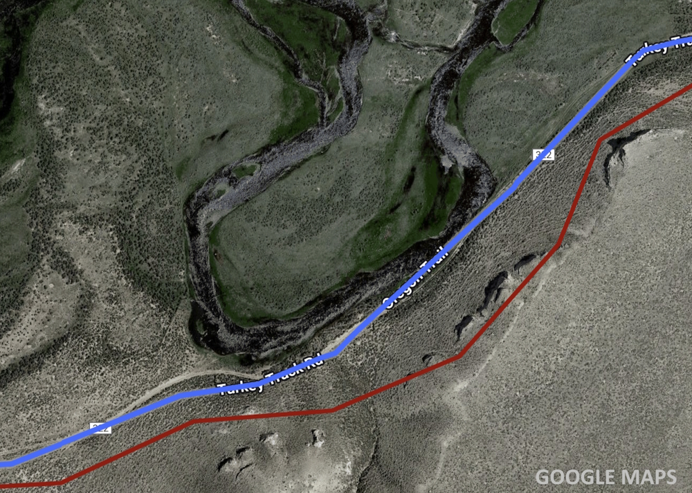
The county road we start on is the ‘old’ paved highway before the present highway. After a couple miles it turns into dusty gravel road which we follow for about 5 miles. Some of the route was on BLM lands and others owned by the Church. We eventually arrive at the first private property to cross. We check in with the ranch hand who waves us on through and tells us there are Oregon-California markers up ahead. That’s nice to know.
We are now on a 2-track that is infrequently used and headed towards Split Rock Mountain. The ‘road’ (using the term loosely) tends to stay close to the Sweetwater River (using the term loosely), then, we decide to divert onto an even less frequently used 2-track. It stays closer to the Sweetwater.
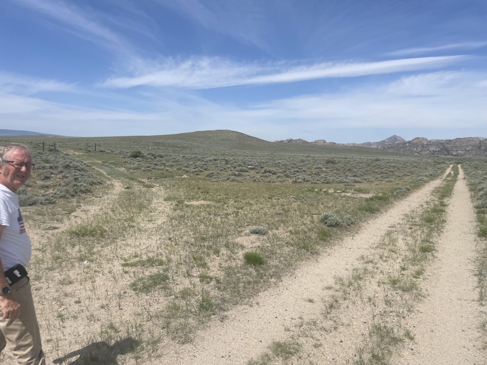
Already we can tell the route is NOT appropriate to bike. Too sandy. Maybe a dirt bike would work, but that’s not one of our resources. We also note for those wanting to come to this area, the Sweetwater Valley is infested with hoards of mosquitos. HOARDS!!! Pioneer journals often comment about mosquitos being annoying. That is an understatement and I grew up in Florida so I know whereof I speak.
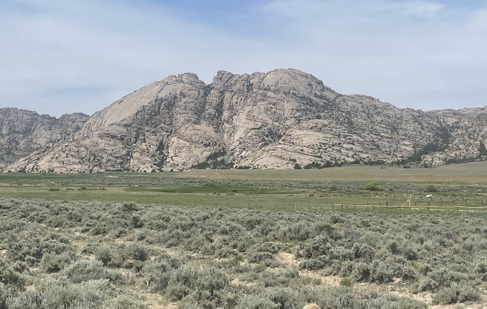
Mark and I exit the wilderness and get onto US Highway 287 abreast of Split Rock. We head mostly west towards Sweetwater Station. For some 22 miles, the trail is interpreted as being congruent with US HW-287. It’s fairly flat through most of the section and will be easy biking for us later in the week.
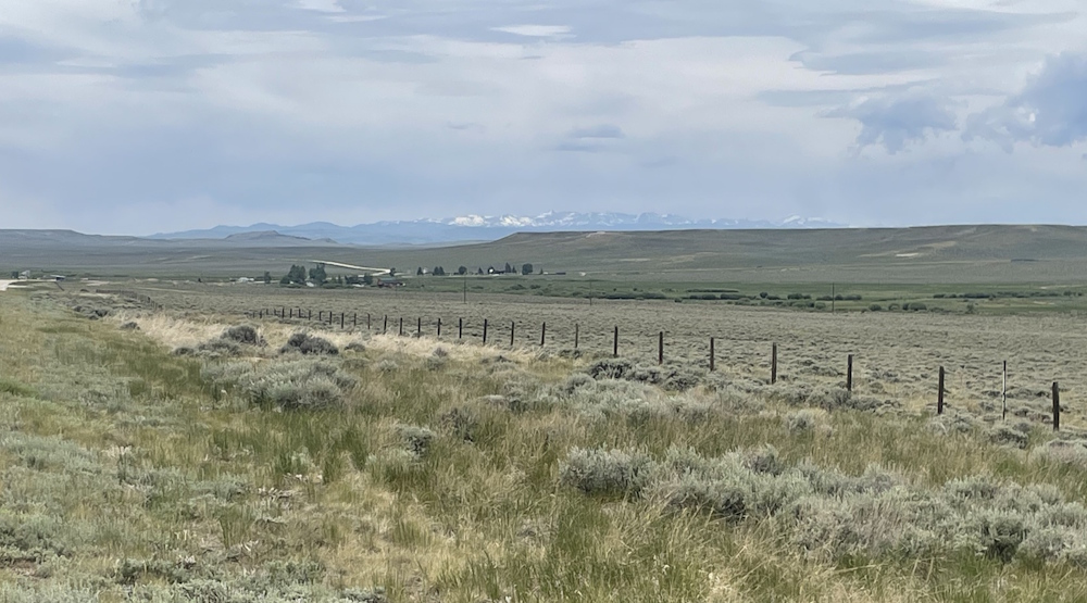
As we crested one hill, the Wind River Range came into view for the first time. Still snow on the peaks. At first I thought it was clouds, but as we drew closer it was obviously snow. Our route stays south of the Wind Rivers, but they were awe inspiring to the pioneers and certainly still are. Beautiful. South Atlantic Peak was about 50 miles away when we spotted it. The mountain will still be 20 miles north of us when we get closest at South Pass.
We stop in at the Sweetwater Station visitors center. Sister Bates provides a quick introduction to the facility and helps us verify our plans for when we move to this area.
Then it’s back to 66 Ranch campgrounds. Measuring by odometer, we’ve 46 miles to go via the highways, the only viable route for us to follow on bikes. Having scouted the route by car, we know we won’t be missing any key locations. Tomorrow (Tuesday) is another ‘prep day’ for us and we have some surprises for you, Gentle Reader.